Latin America is a diverse region that encompasses 21 countries and a melting pot of cultures and languages.
Teaching Spanish students about this fascinating region is an ideal way to awaken their interest in exploring the world.
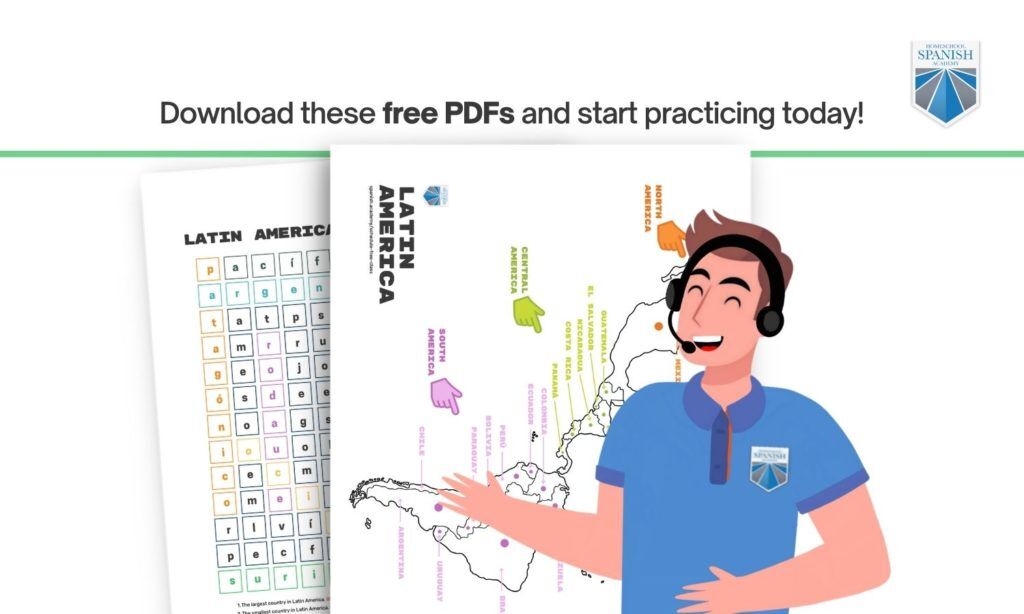
Do you need help preparing a fun and engaging lesson on Latin America?
Look no further!
Studying geography with a labeled map gives your child an awareness of space and place, along with other interesting benefits.
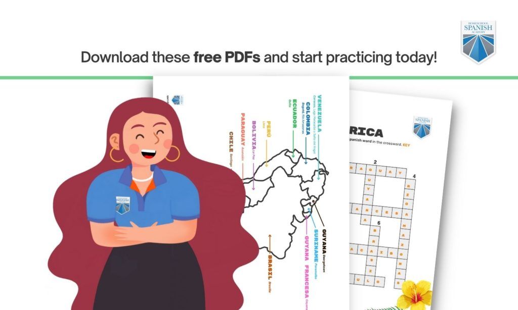
Bring geographical and cultural insight to your Spanish classroom with this lesson. Each section features a free labeled map, an outlined map for students to color, and a worksheet activity.
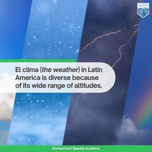
El clima (the weather) in Latin America is diverse because of its wide range of altitudes.
The region is traversed by el ecuador (the equator). This dividing line separates Latin America into el hemisferio Norte (Northern Hemisphere) and el hemisferio Sur (Southern Hemisphere).
This area near the equator is one of the hottest regions in the world. This makes Latin America stand out for its tropical weather. It also has cool and dry areas.
La cordillera Americana (American mountain range) is in Latin America. Mexico is the starting point of the Sierra Madre, which spans across Central America. In South America, the mountain range becomes the Cordillera de los Andes (Andes Mountain Range).
Due to these massive mountain ranges, Latin America has hundreds of volcanoes and mountains. The tallest mountain is the Cerro Aconcagua, and the tallest volcano is the Nevado Ojos Salados. Both peaks are in Argentina.
The Latin America map features rivers of great natural importance. The largest river in Latin America is the Amazonas (Amazon river). It flows from Peru to Bolivia, Ecuador, Venezuela, and the Brazilian Atlantic shores.
Latin America’s largest lake is Lago Maracaibo in Venezuela. The largest desert is in Argentina and Chile, and it’s called the desierto Patagonico (Patagonian desert).
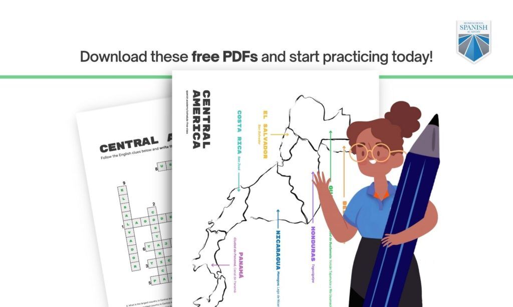
Central America is home to 27 active volcanoes.
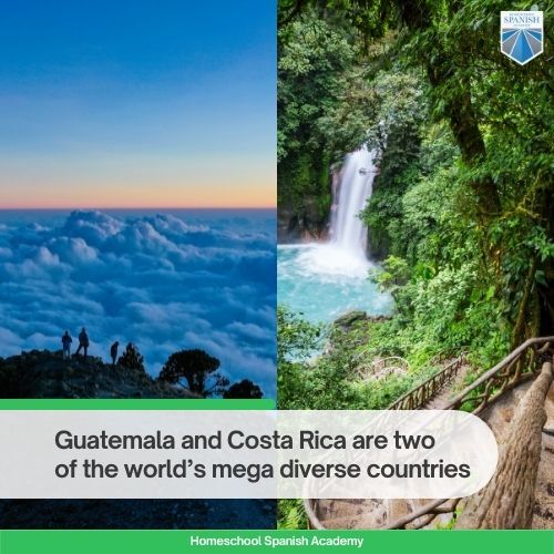
The region sits atop six placas tectonicas (tectonic plates), which makes it vulnerable to tremors and earthquakes. The tallest peak in Central America is Tajumulco in western Guatemala, which stands at 13,813 feet above sea level.
The largest river in Central America is the Usumacinta. It is 3,684 feet long and marks the border between Mexico and Guatemala. The largest lake in Central America is Lake Nicaragua.
South America also has savannas, grasslands, prairies, glaciers, wetlands, and coast.
The tallest point in South America is the Cerro Aconcagua in Argentina. It stands at 22,838 feet above sea level.
South America is also home to the tallest waterfall in the world. It’s called el Salto del Angel (Angel Falls), and it’s in Venezuela.
This free lesson with labeled maps is sure to bring effective and fun teachings to your Spanish classroom! Use it as a way to encourage your children to explore the world. As they get older, look for opportunities that allow them to travel abroad and experience other cultures.
Kids who learn Spanish have a deeper understanding of diversity. The chances your child will encounter Spanish speakers in their community are higher than ever. Being bilingual allows kids to communicate effectively with people from different backgrounds.
Take advantage of your children’s willingness to learn and sign them up for a free trial class with an experienced Homeschool Spanish Academy teacher.
HSA-certified teachers are native speakers from Guatemala. The Spanish immersion you get from our programs exceeds expectations and helps move your child toward fluency. Our tailor-made programs adapt to your needs, schedule, and offer affordable pricing.
Want to learn more about Latin American culture? Check out our latest posts!
Native speaker of English and Spanish, I’m a sustainable travel and social impact entrepreneur who loves going to new places and meeting people from different cultures and backgrounds. I love spending time with my family and being outdoors with my dogs. Writing, communicating, and creating are my passions. I strongly believe there are more creative ways to solve the issues our world is facing and I like doing my part in any way I can.
Latest posts by Sofía Godoy (see all)